
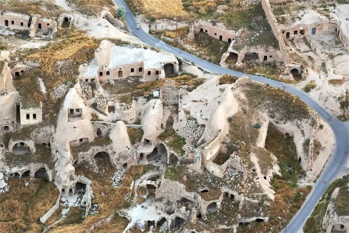
Cappadocia's core is a triangle roughly thirty kilometers across, with the village of Göreme at its center — and almost every famous sight sits within a twenty-minute drive of it. The two exceptions worth knowing before you plan are the underground cities (30–45 minutes south) and the Ihlara Valley (about an hour and twenty west). Everything else is closer than the map makes it look.
The map below covers the whole region. Below it is the part a map cannot tell you: how long each hop actually takes, and which places cluster naturally into one day.
Drive times from Göreme
| Place | From Göreme | Which day it belongs to |
|---|---|---|
| Uçhisar Castle | 10 min | Red Tour / north |
| Göreme Open Air Museum | 5 min | Red Tour / north |
| Çavuşin | 5 min | Red Tour / north |
| Paşabağ (Monks Valley) | 15 min | Red Tour / north |
| Devrent Valley | 15 min | Red Tour / north |
| Avanos | 15 min | Red Tour / north |
| Love Valley | 10 min | Sunset / photography |
| Ortahisar | 10 min | Quiet half-day |
| Ürgüp | 15 min | Dinner & wine |
| Kaymaklı Underground City | 30 min | Green Tour / south |
| Derinkuyu Underground City | 40 min | Green Tour / south |
| Ihlara Valley | 1 h 20 | Green Tour / south |
| Selime Monastery | 1 h 30 | Green Tour / south |
| Nevşehir Kapadokya Airport (NAV) | 40 min | Arrival / departure |
| Kayseri Erkilet Airport (ASR) | 1 h 10 | Arrival / departure |
Why the region splits into a "north" and a "south" day
Look at the table and the local tour conventions explain themselves. The northern cluster — Göreme, Uçhisar, Çavuşin, Paşabağ, Devrent, Avanos — sits inside a fifteen-minute radius, so a day there is mostly stops and very little driving. That is the Red Tour.
The southern sights are spread along a single road running away from Göreme: underground city first, then the Ihlara gorge, then Selime at its far end. A day there is longer, with real driving between fewer, bigger stops. That is the Green Tour. Trying to mix north and south in one day means driving the same road twice — which is exactly why nobody local does it.
The towns, and which to sleep in
Göreme sits in the middle with the trailheads and the balloon launch fields — the default for a first visit. Uçhisar is ten minutes west and higher, with the grandest views. Ürgüp is fifteen minutes east, larger, with the best restaurants and the wine cellars. Ortahisar sits between them and is the quietest. Avanos is fifteen minutes north on the river, and the most workaday. The full comparison is on our where to stay guide.
Sources & further reading
- UNESCO: Göreme National Park and the Rock Sites of Cappadocia — the protected area boundaries
- Britannica: Cappadocia — the historic region vs the modern one